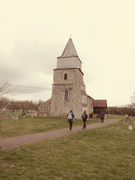
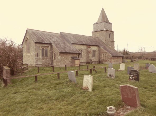
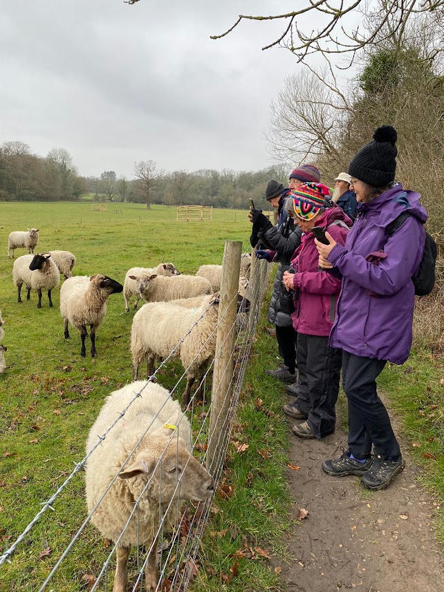
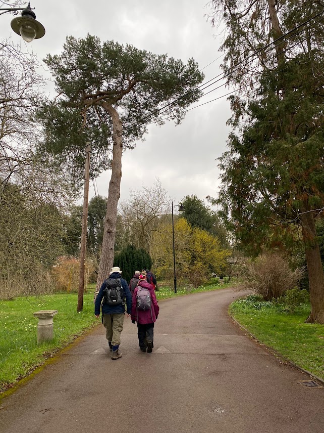
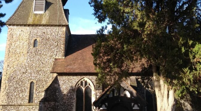
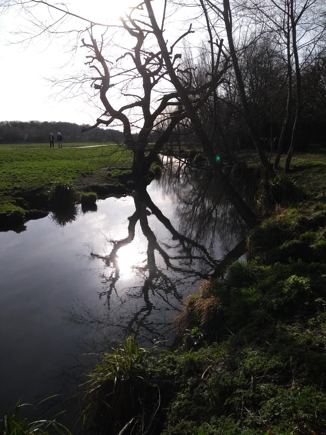
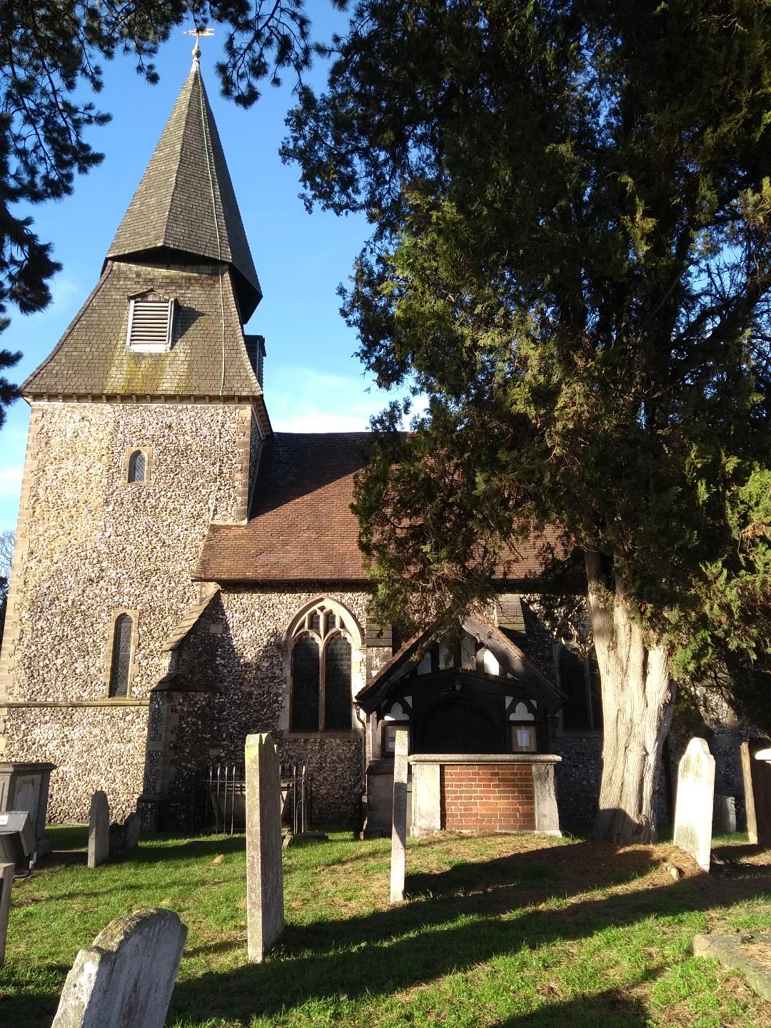
There were twenty three of us on this 10 mile walk over the hills to Amersham. I was delighted to see so many ramblers come along after almost three days of gloomy wet weather which didn’t clear until Friday afternoon. We set off from the railway station passing the 14th c. parish Church of St Peter & St Paul and then climbed to the top of the hill which has some very fine views of the surrounding countryside. The going was quite soft and rather muddy in places but the heavy rain I was fearing didn’t appear. We descended the neighbouring valley to the ancient village of Little Missenden, crossing the busy A413 on the way. We visited the St John the Baptist Church, parts of which date back to the 10th c. and after removing our muddy boots we admired the medieval frescoes which can be seen inside the church.
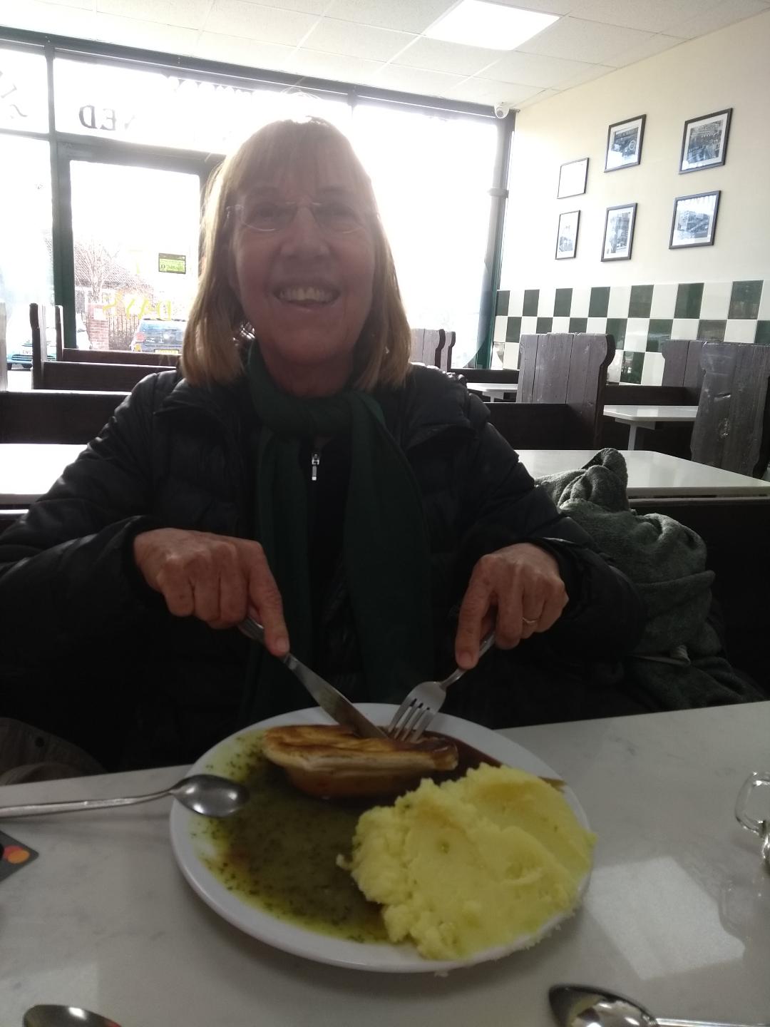
After leaving the church we climbed a long incline up to Beamond End, stopping for a quick snack at about 1.15pm. We crossed the busy A404 safely and then we were amongst the beech trees of Penn Wood. After leaving the wood it was time for a well deserved lunch, either a picnic on the green or a meal at the Hit or Miss Pub nearby. In the pub and sat next to us was a group of men who said they were a ‘Dad’s Group’ each person was dressed to represent a different London underground station. One man was dressed as an angel for Angel Stn, another as a baker, for Baker Street Stn etc!
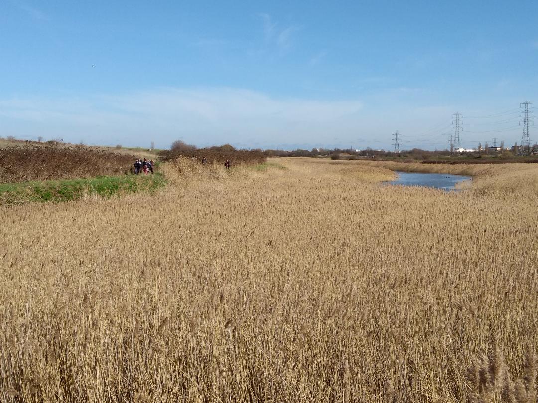
We were over half-way now and set off to the village of Winchmore Hill across the fields and through the woods. It was quite muddy going in places. Then on to Coleshill where we passed a 19th c. Church, then down the road for a while. Still no rain! And making good time. We emerged via a country path onto fields with a a fine view of a distant Old Amersham in the valley below us. We arrived in Amersham at 16:45 and some of us visited the small and crowded tea shop which was closing in 15 minutes. Others headed directly up the steep hill to the station. We had been lucky with the weather. It had been a great day out.
Chris. Photos by Ida and Stuart